Hey makers 👋 something completely new
Laser cutter, 3D printer, CNC, whatever's on your bench.
Turn the placesyou love intothings you can hold.
High-precision vector maps of any street, shoreline or summit on Earth, ready to laser cut, engrave, CNC or 3D print. Pick a place. Pick a style. Make it real. And now, make it any size.
Every street.
Every shoreline.
Every contour line.
From a single intersection to an entire country's borders, our generators trace the world in clean, fabrication-ready vectors, with no CAD, no tracing and no guesswork.
The style library
A preset for every place.
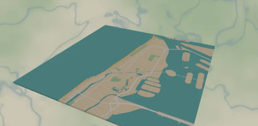
Topographic, blueprint, neon, vintage parchment, transit, terrain. Start from a look you love and make it yours in a click.
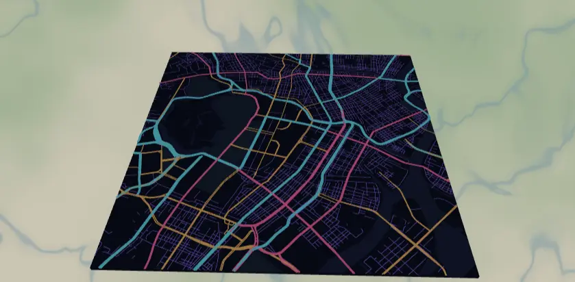
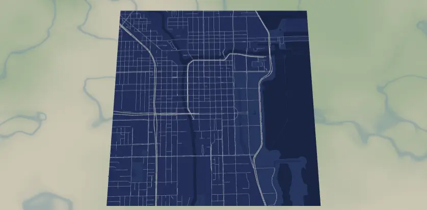
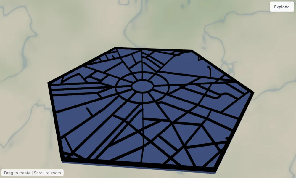
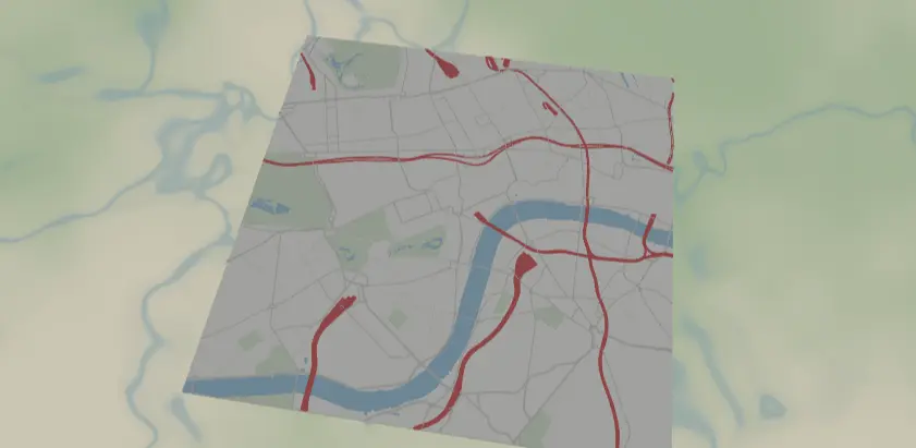
What you can make
One tool covers them all.
Lakes, routes, skylines, campuses, keepsakes. Pick a place, pick a style, then cut, print, engrave or sublimate it onto anything.
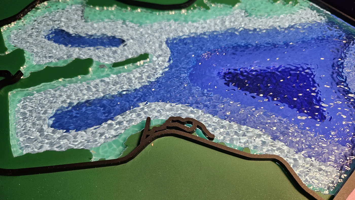 Bathymetry
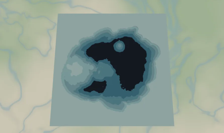
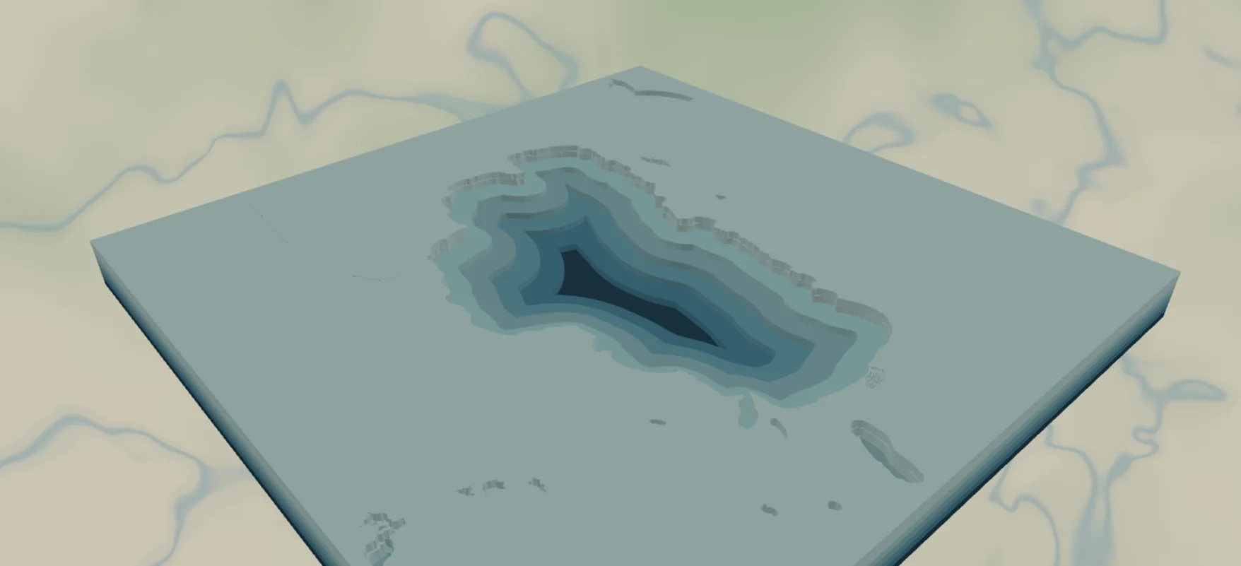
Every lake, down to the depth
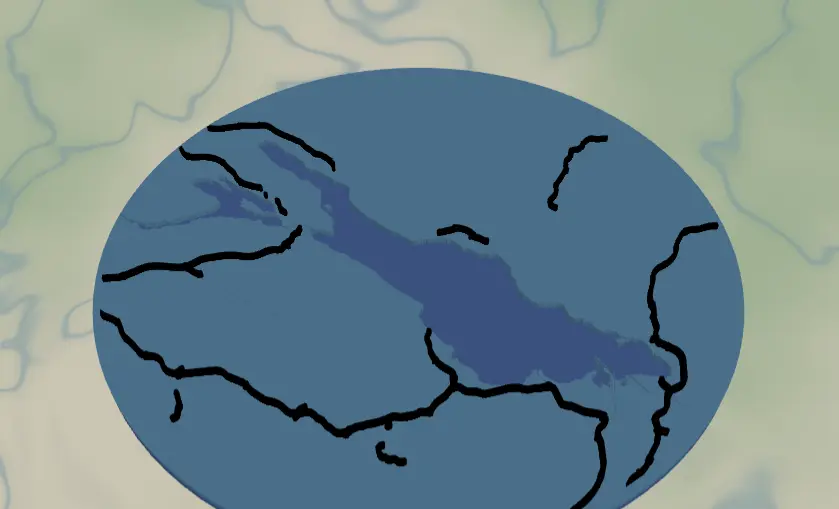
Real surveyed bathymetry where it exists and modelled depth everywhere else, layered here in tinted acrylic for any lake on Earth.
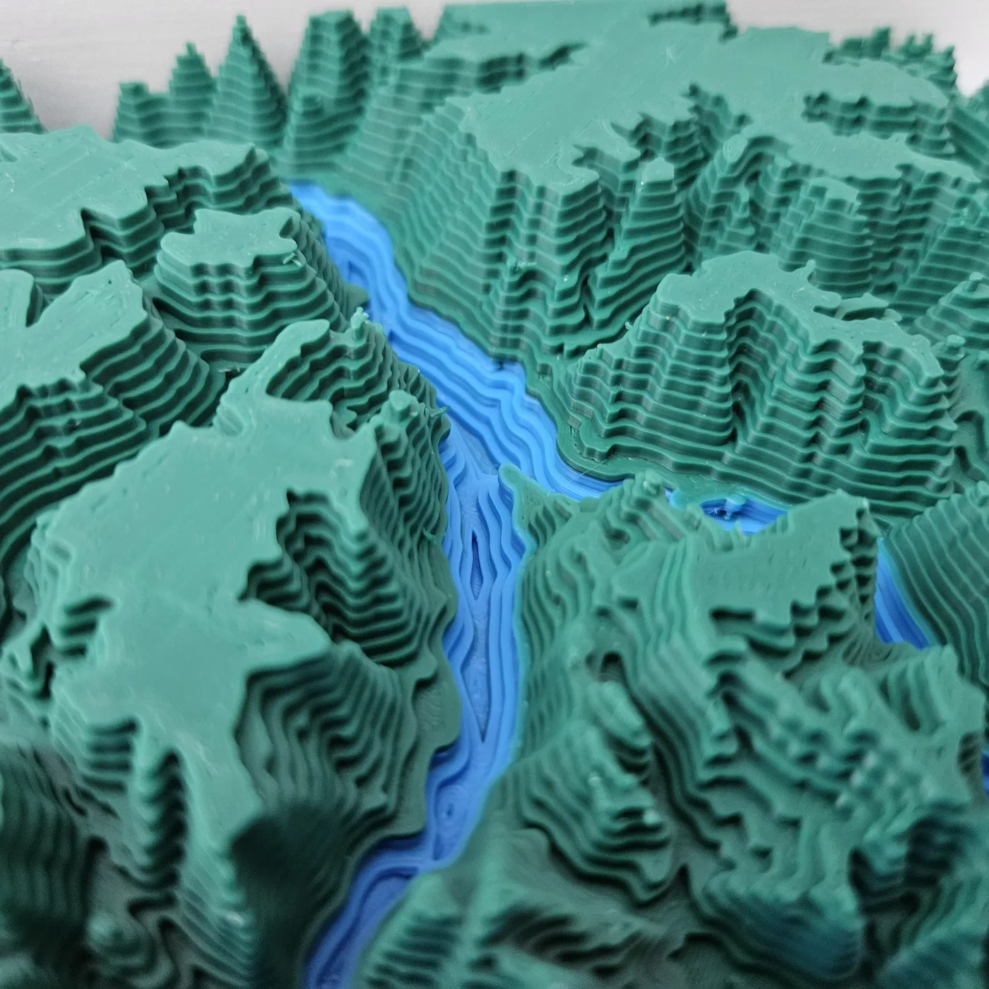 Relief
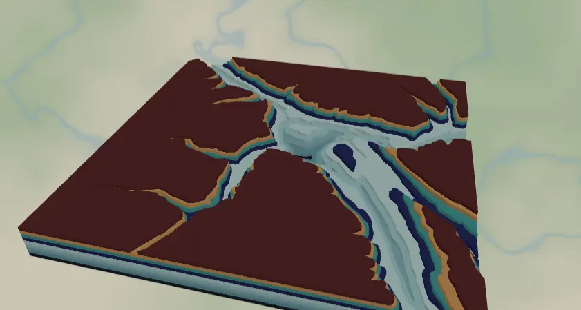
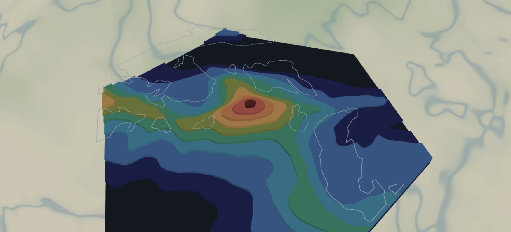
Topography meets bathymetry
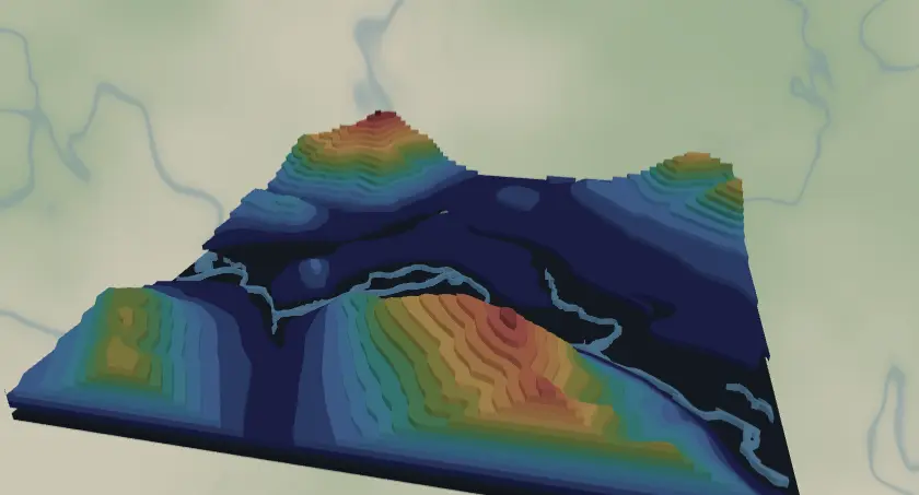
Combine land contours with water depth and 3D print a canyon river the way it really cuts through the terrain.
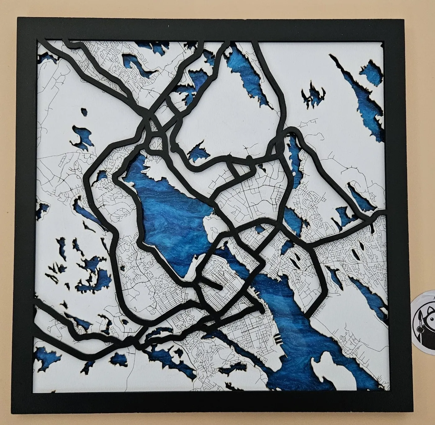 Classic
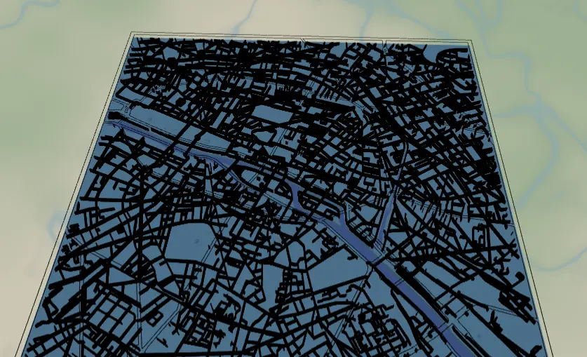
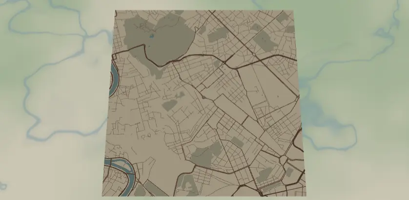
Layered laser-cut city maps
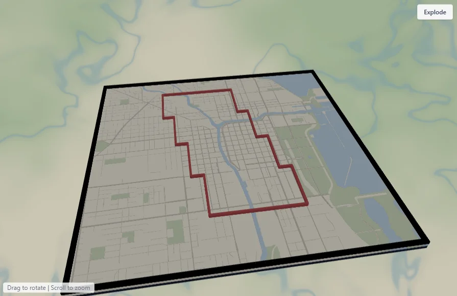
Roads, water and land cut as separate layers and stacked into a framed, multi-tone map of your city.
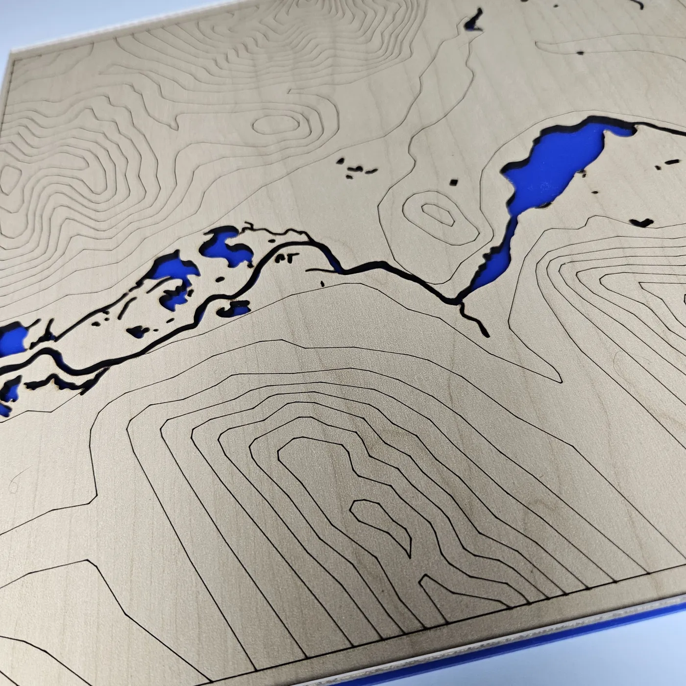 Engrave
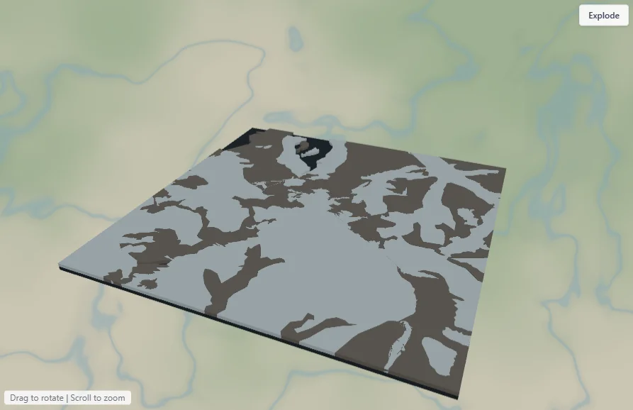
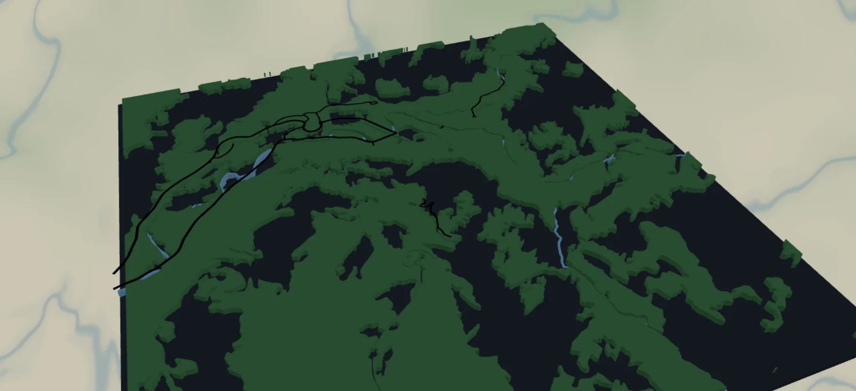
Engraved topography & rivers
Burn fine contour lines and rivers straight into wood, with the water cut clean through to a colour beneath.
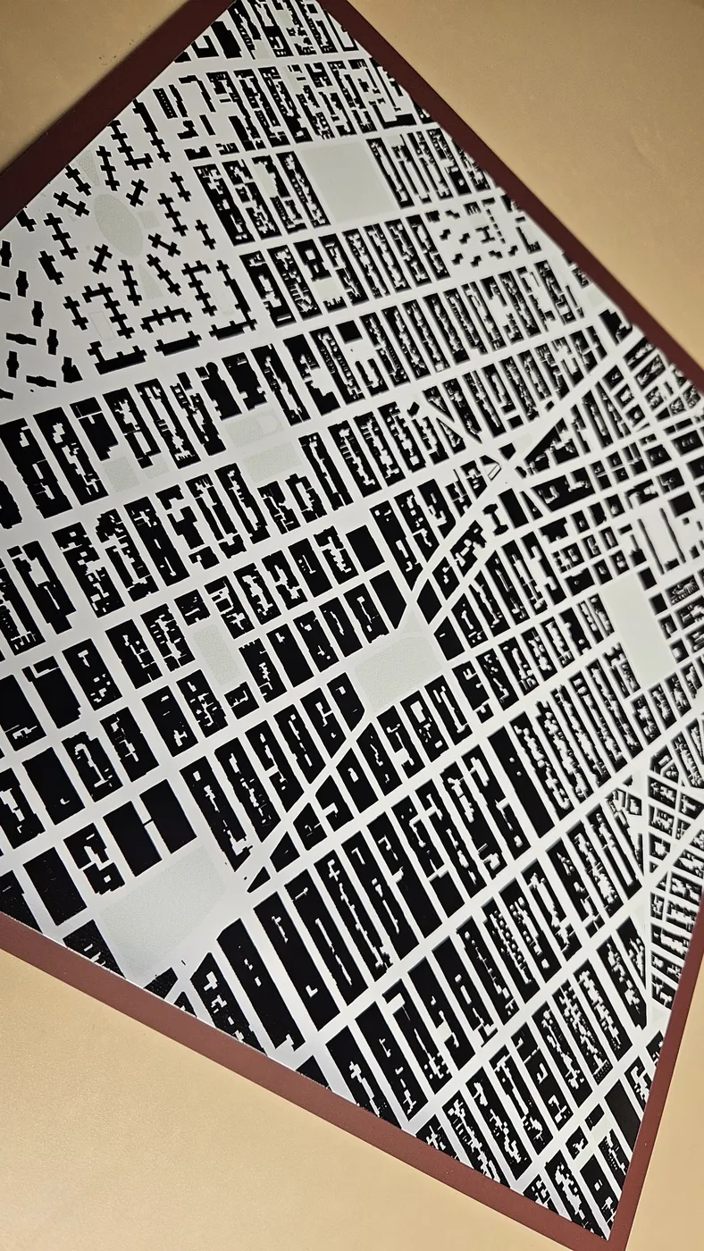 UV print
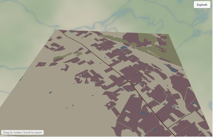
UV-printed building maps
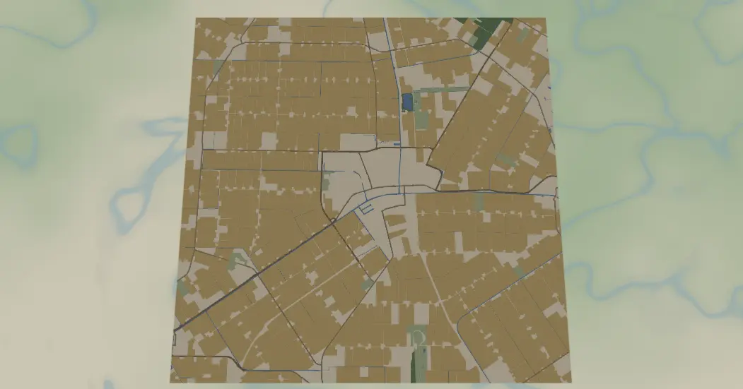
Print full-colour figure-ground building maps on a UV or flatbed printer, edge to edge in sharp detail.
 Keepsake
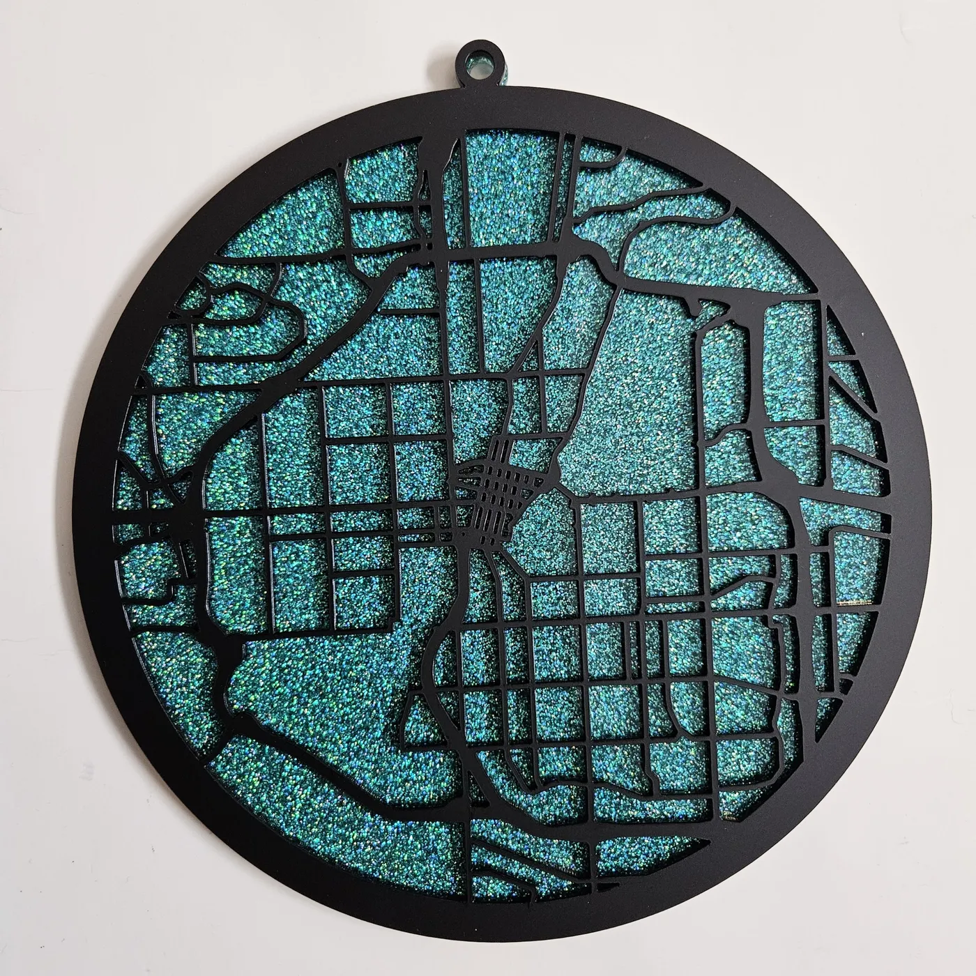
Ornaments of any place
Make a Christmas ornament of your favourite lake or city, backed with glitter or coloured acrylic.
 Wearables
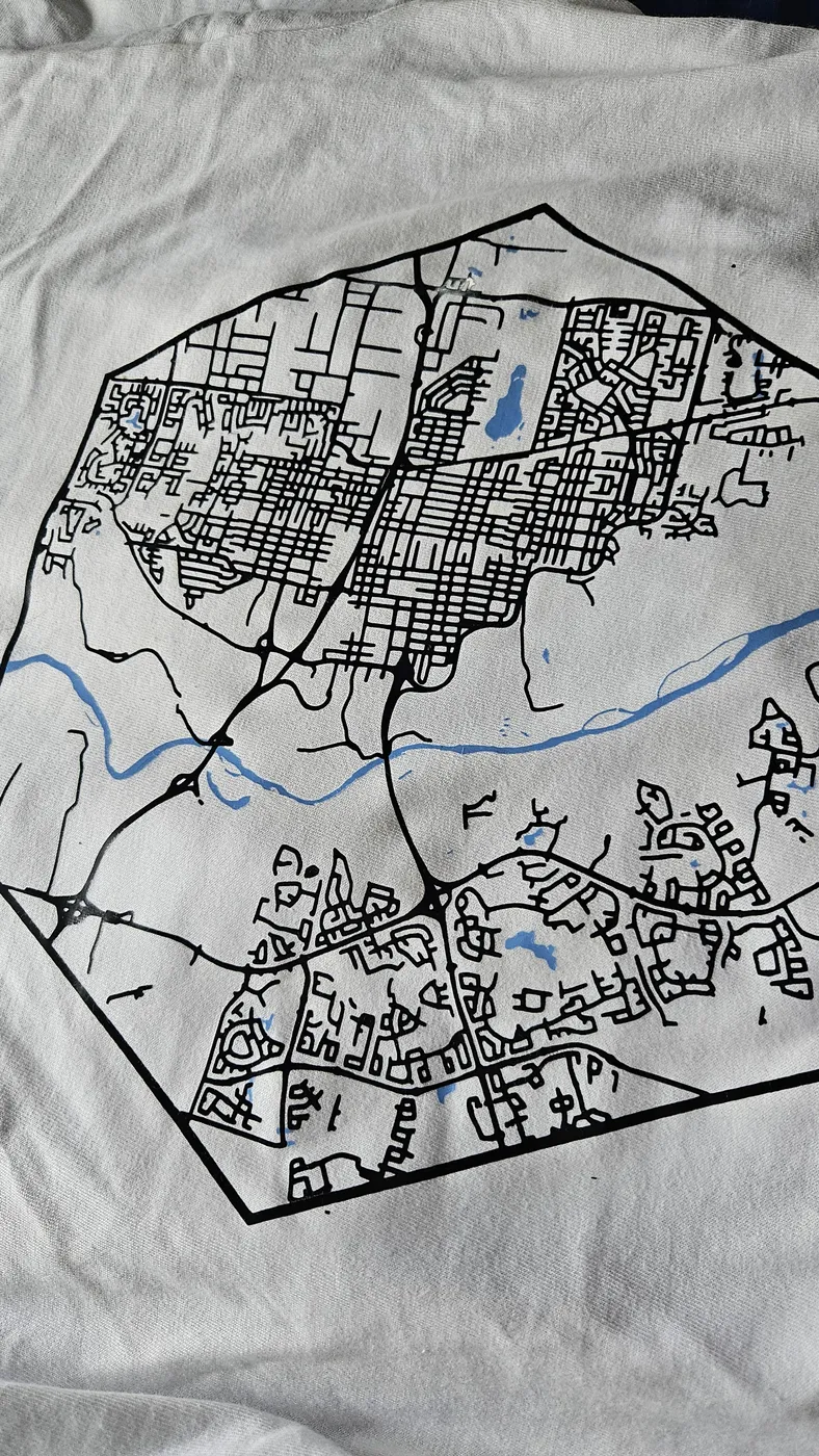
Wear your city
Cut a vinyl tee or sublimate your map onto a cup, a mousepad or the things you love.
Your routeTurn a GPX track into art
Upload a GPX file to commemorate your run, your track lap time, your first marathon or your daily bike ride.
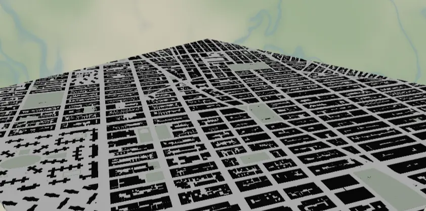
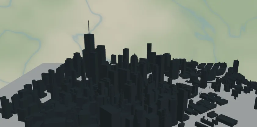
3DSkylines with real heights
Build a three-dimensional city skyline from real building heights, ready to 3D print or stack up in relief.
BlueprintClean blueprint styling
Switch any map into a crisp, technical blueprint look in a single click.
 Precision
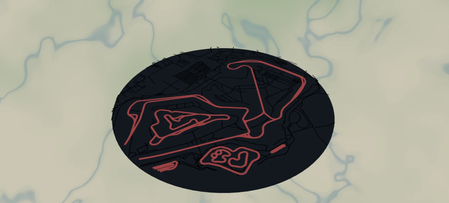
Racetracks & airport diagrams
Lay out a detailed racetrack or a full airport diagram with every runway and taxiway in place.
 Campus
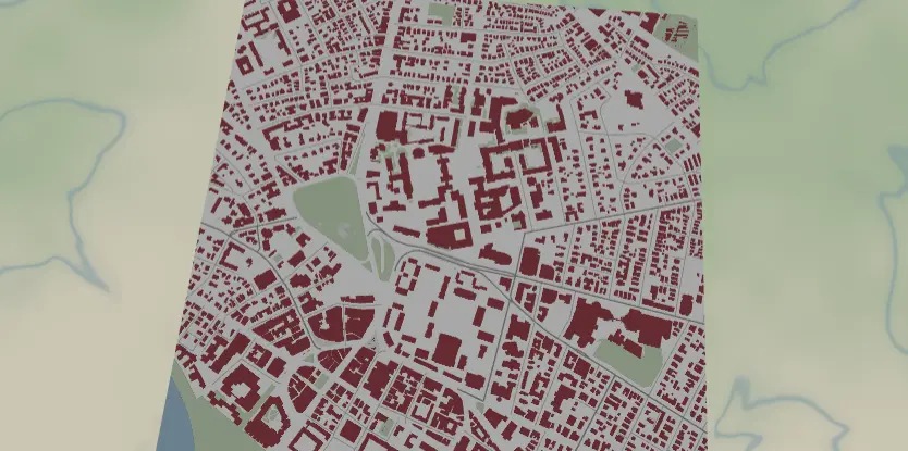
Your campus in school colours
Print a university campus map styled in your school's colours, ready to frame or gift.
NewBigger than your bed
Too big to cut?Split it. Make it.Assemble it.
Your machine has a bed. Your ambition doesn't. Split any design into machine-sized tiles, cut or print them one at a time, then line up the registration marks and assemble one seamless, oversized piece.
- 01
Design at any size
Set the finished dimensions you actually want: a wall-sized city map, a coffee-table topo, a full-door panel.
- 02
We split it into tiles
We slice the design into panels that fit your bed, with matching edges and numbered registration marks on every piece.
- 03
Cut, then assemble
Run the tiles through your laser, CNC or printer one by one, then align the marks and join them into one big piece.
Scroll to cut. Scroll up to assemble.
One generator. The whole planet, down to the contour line.
The toolkit
Four generators. The whole world on your workbench.
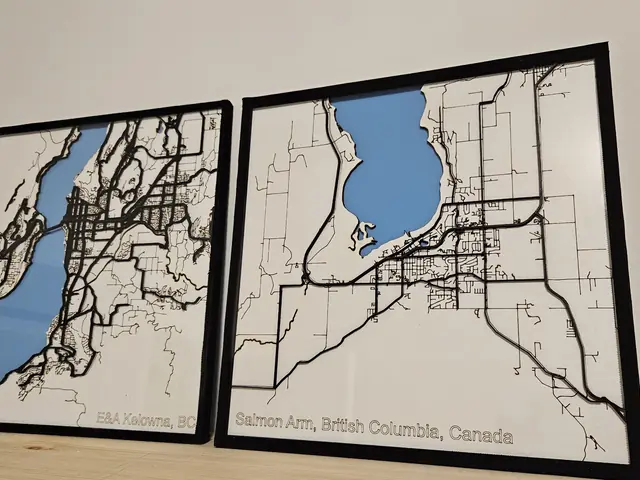 The flagship
Street Map Design Generator
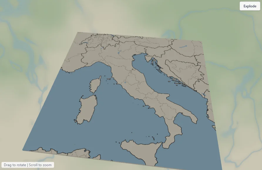
Search any address and watch the streets, water and parks resolve into crisp layered vectors. Tune the radius, toggle layers, drop in a label, export.
Try it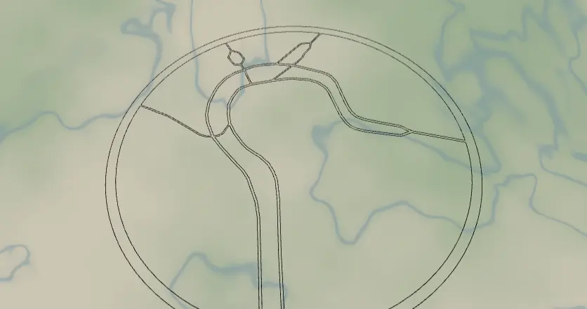 Pure outlines
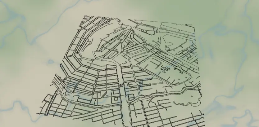
Vector Line Map Generator
Stripped-back single-stroke line maps optimised for laser engraving and pen plotters. Every road becomes one clean, continuous path.
Try it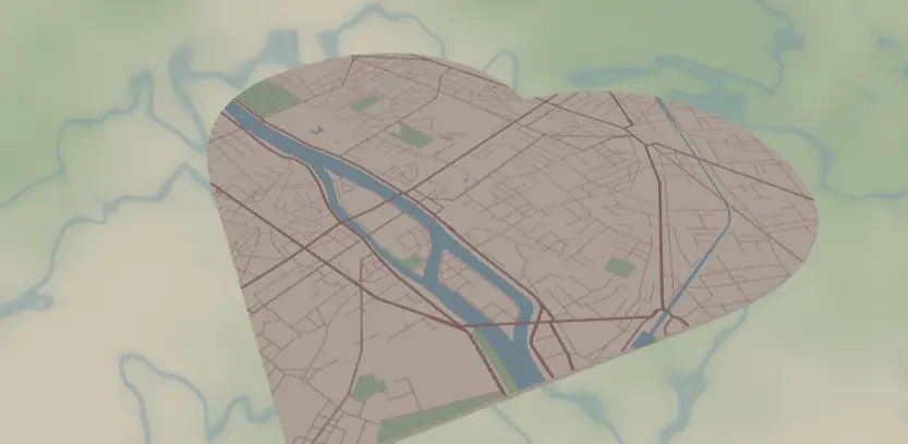 Keepsakes
Heart Map Generator
Frame the place you met, married, or grew up, cropped inside a heart and ready to cut. The keepsake people actually keep.
Try it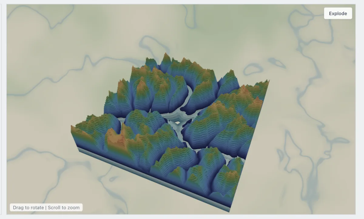 Full control
Map Designer
The pro canvas: layers, colours, depths and materials. Compose multi-layer relief maps and 3D-printable terrain, then export production files.
Try itProduction-ready output
Built for the machine you already own.
Laser Cut
SVGClean, single-path vectors with kerf-aware spacing. Drop straight into LightBurn, xTool, OMTech or Glowforge and cut clean.
Engrave
SVG · PNGFill or single-line stroke output for engraving names, coordinates and street detail into wood, acrylic or leather.
3D Print
STL · 3MFExtrude streets, water and terrain into layered relief. Export watertight STL and 3MF for resin or filament printers.
CNC Rout
SVGPocket and profile your map on a CNC router or mill. Vector paths import straight into Fusion, VCarve or Carbide Create.
Plot & Vinyl
SVGSingle-stroke paths for pen plotters and vinyl cutters. Weed a Cricut or Silhouette decal or pen-plot a clean line map.
UV & Sublimation
PNG · SVGFull-colour, edge-to-edge artwork for UV, flatbed and sublimation printers. Print onto wood, acrylic, mugs and fabric.
Start free. Go Pro when you're ready.
- Create a free account and start designing in seconds
- A full library of free presets, ready to cut today
- Pro presets and premium styles unlock with a subscription
Plays nicely with
A free account unlocks the free preset library. A Pro subscription opens every premium style for personal projects, Etsy shops and commercial production runs.
Questions, answered
Everything you need to know.
What is MyLaserTools?
It is a set of generators that turn any place on Earth into high-precision vector maps, ready to laser cut, engrave, CNC, plot or 3D print. Search an address, pick a style and export production-ready files.
Which file formats can I export?
Maps export as SVG, STL, 3MF and PNG, so you get clean vector paths for cutting and engraving plus watertight meshes for 3D printing.
What machines can I use?
Anything that reads a vector or 3D file: laser cutters and engravers, CNC routers and mills, vinyl cutters like Cricut and Silhouette, pen plotters, drag-knife craft cutters, UV and flatbed printers, and FDM or resin 3D printers.
Is it free?
Create a free account and design with the free preset library at no cost. Pro presets and premium styles are available with a paid subscription.
Do I need an account?
Yes. A free account is required to design and export your maps. Upgrading to Pro is optional and unlocks the premium preset library.
Can I sell what I make?
Yes. Your designs are yours to use for personal projects, Etsy shops, small businesses and commercial production runs.
How accurate are the maps?
Every map is built from real geographic data and traced into clean, fabrication-ready vectors, so there is no manual tracing and no guesswork.
Start with your city.
The world is 11 million places waiting to be cut. Yours is one search away.